We know that most of our readers are experts in landscape architecture and landscape design (although we imagine there are some students as well).
The reason is simple: by focusing on the fundamentals, we can illustrate how Lands Design improves the workflow of the most essential elements of a landscape architect’s job.
There are many aspects to cover (the fundamentals of our industry are not that basic), so let’s get started!
Site analysis
Landscape architects must evaluate topography, soil type, existing vegetation, and climate. Other artificial and natural elements of the landscape must also be analyzed: buildings, urban landscape elements, bodies of water, etc.


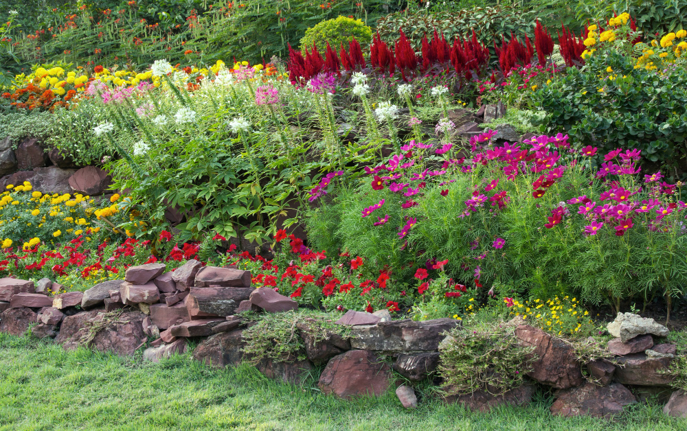
tools for site analysis
Our tool allows you to import terrain from satellite images or existing files in the cloud. You can also connect contour lines, elevation curves, and point clouds and create landscapes with them.
Our extensive plant database allows you to incorporate existing vegetation into your site analysis file. You can begin to evaluate where the best views are on a property, how existing vegetation can be incorporated into your landscaping project, and much more.
Fusion Of Form And Function
The principle that “form follows function” is often cited, but in the 21st century, the way we view it has changed.
It is especially evident in landscape design, where one of the functions must almost always be to incorporate new elements harmoniously with the existing ones so that the unique qualities of a given terrain are highlighted.
Focus on sustainability
Another essential function in modern landscape design is sustainability. For many homeowners, the appeal of good landscaping design is economic: after all, landscaping can increase the value of your property.
While this remains true, more attention is now being paid to creating sustainable landscapes. These landscapes may include tree cover that provides shade for passive cooling, water reclamation for irrigation, water treatment through constructed wetlands, etc.
One of the most common ways to improve sustainability is to use plants native to a given region and apply xeriscaping principles to introduce living landscape elements that do not require irrigation.
With over 8,000 different plant species, Lands Design allows you to incorporate sustainable landscaping elements into your design. You can even filter plants by soil type, climate, etc., making it simpler to find the right plants for each location.
The basics, more effective
We hope this article has illustrated how Lands Design can help you with some of the most basic principles of landscape design. It has a version for AutoCAD and another for Rhino. Therefore, you can import and export your designs in multiple formats.
Lands Design allows you to create in 2D and 3D; you can even give your clients virtual tours of the landscape you have designed. You can also view it through virtual reality. From refining the basics to completing the final design, we trust the software to help you do it all.